9 LENOX ST
Owner Information
WEBER-LAHLOU T/E
9 LENOX ST
LAWRENCE, MA 01843


Property Details
9 LENOX ST is classified as a Four to Eight Units (Family conver.).
The primary structure on this property was built in 1940. There are 6,590ft2 of built area within this property. There is 3,762ft2 of residential/living space within this property. This property is listed as having 8 rooms.
9 LENOX ST is valued at $546,600. The land is valued at $99,300 and the structures are valued at $418,800. There is an additional valuation of $28,500 on this property.
This property is in Zone R2. Confirm with local Zoning Board authorities to ensure there are no overlays or other easements on this property.
The most recent deed for 9 LENOX ST is recorded at the local registrar in Book 12706, Page 310. 9 LENOX ST was last sold on Monday, November 21, 2011 for $1.
Assessment data from fiscal year 2022.
Flood Data
According to the FEMA National Flood Hazard Layer, this property does not appear to be in a flood zone. It may also be in an area not yet reviewed. Nonetheless, confirm this information prior to taking any action.
To view the flood hazards around this property, create a FEMA "Firmette" Map of the area around 9 LENOX ST.
Broadband Internet Providers
| Provider | Type | Bandwidth (mbps) | |
|---|---|---|---|
| Viasat Inc | Satellite | 100 | 3 |
| Verizon New England Inc. | DSL | 5 | 0 |
| Verizon New England Inc. | Fiber | 940 | 880 |
| Comcast | Cable | 1000 | 35 |
| HughesNet | Satellite | 25 | 3 |
| VSAT Systems, LLC. | Satellite | 2 | 1 |
| GCI Communication Corp. | Satellite | 0 | 0 |
Broadband service provider data from December 2020.
Adjacent Properties
- 24 KENNETH ST
Single Family Residential owned by DELVALLE MARIBEL - 16 KENNETH ST
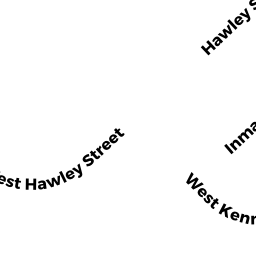
Two-Family Residential owned by BERROA DE MENDEZ ALTAGRACIA - 24 INMAN ST UNIT 3
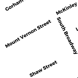
Condo owned by CAMERON BISHOP/JANTON TRUST - 349 SO BROADWAY
Two-Family Residential owned by LOPEZ GUILLERMO H T/E - 24 INMAN ST UNIT 1
Condo owned by CAMERON BISHOP/JANTON TRUST - 7 LENOX ST
Two-Family Residential owned by TAVERAS MAYELIN I J/T - 15-15A LENOX ST
Two-Family Residential owned by GUERRERO JEANNETTE